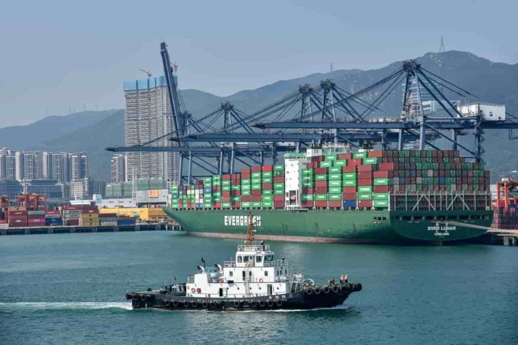

A tanker sits at anchor off Fujairah. Its transponder says otherwise, placing it forty miles away, still en route. A port agent watching from shore knows better. He can see the ship, he just has no way to make that count for anything.
That gap, between what a vessel transmits and what’s actually true, sits at the center of one of the busiest, most strategically sensitive stretches of water on earth. A huge share of the world’s seaborne oil moves through the Strait of Hormuz. Insurers price risk against it, governments watch it, and trading desks read it for signs of trouble. However, the transponder tracking system everyone relies on was not built to answer the question everyone’s asking.
That system shows where a vessel says it is, not whether that’s true. It can’t confirm a berth, a flag, a visible condition, or whether a sudden blackout in a ship’s signal is a dead battery or something deliberate. Maritime safety bodies have flagged rising concern over vessels faking or jamming their tracking signals. The gap between transmitted and true is widening.
The port agent watching that tanker already knew what the transponder can’t tell anyone. So does the receiver operator who notices a signal that keeps cutting out at the same spot, or the crew member who can see a vessel’s real flag from the deck of another ship. That kind of knowledge has always existed on the water, but it just never had anywhere to go.
A new maritime intelligence platform being developed, known as Sea Verity, is giving that knowledge somewhere to go, and a way to make it count.
A sighting becomes evidence
A contributor gets a structured, low-risk task: confirm whether a named vessel is visible at a given anchorage, or note a name or flag from a safe distance. Nothing that requires getting close, taking a risk, or doing anything they wouldn’t ordinarily do.
That observation gets checked against transponder data, registry records, and whatever else is available, using computer vision and pattern-matching built to catch duplicates and manipulation. The output isn’t a verdict, but a confidence score: “Unverified,” “Probable,” “Verified,” with the reasoning visible rather than hidden. Ambiguous or high-stakes cases go to a person, not an algorithm.
It’s actually a simple idea: two weak signals, one human and one machine, combining into something worth acting on.
Starting small, on purpose
Sea Verity isn’t trying to watch the entire ocean on day one. Developed by Ethra Ship, its first proof of concept is narrow by design, starting with Fujairah and the Strait of Hormuz, and asks only four critical questions:
Is the vessel where it claims to be?
Did the port call happen?
Is a transponder gap a coverage hole or something worth flagging?
Does the vessel’s visible identity match what it’s transmitting?
The corridor wasn’t picked randomly, as it’s dense, strategically loaded, and small enough to test coverage, latency, and evidence quality before scaling to provide a controlled pilot.
Why this, why now?
Faking or jamming vessel tracking signals used to be a niche technical worry, but it’s become a recurring headline, especially in contested waters. Meanwhile, the buyers who matter most (insurers, ship managers, logistics firms) don’t want black-box alerts accepted on faith. They need to see the reasoning.
The instinct motivating it is hard to argue with because in a trade corridor this important, someone was needed to build a way to check the story the water’s been telling us all along.
Featured image via Shutterstock.